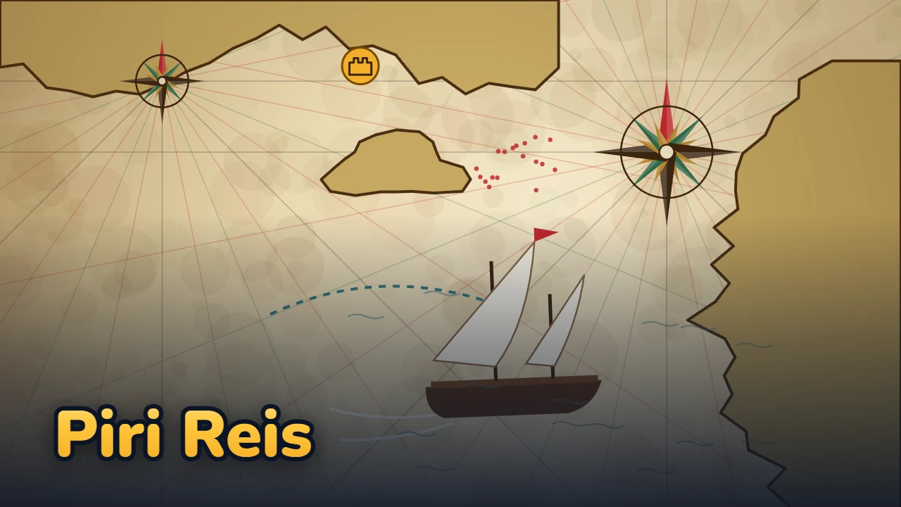
Piri Reis
The Mediterranean, coast by coast: read the wind, ink the coast, reach the harbor.
How to play
Each move is one day: tap a direction around the ship and it sails one square. You can't sail toward where the wind comes from, nor to either side of it. The strip at the top shows the wind for the next 5 days; use Drop anchor to wait for the right wind, or your limited Oars to row one square against it. Supplies decide how many days you can stay at sea. As the ship passes, the coast is inked onto the map. Drag chart pieces, fragments of old maps, from the logbook to where the coast fits; a piece placed in the wrong spot becomes an ink blot when the ship gets there. Watch out for shoals, the current of the Dardanelles and storm days: in a storm a ship in open water drifts, so shelter in a harbor with land on the side the storm blows from. See all the marked places, place every chart piece and reach the harbor with the red flag; within the target days and with a spotless map you get 3 stars.
How to play Piri Reis: The Mediterranean, Coast by Coast - a detailed guide
Piri Reis: The Mediterranean, Coast by Coast is a turn-based sailing and map puzzle played with a ship that moves by the wind. Every move is one day. You read the wind, drop anchor and wait, or take to the oars; as your ship passes, the coastline is inked onto the map. You also carry fragments of old maps, the chart pieces: put them in the right place and you know the sea ahead before you see it. The game has 12 levels in 3 chapters and a Daily Voyage that changes every day.
Goal
In every level your ship leaves a harbor. To finish the level you need three things:
- See every marked place up close (coastal landmarks such as a castle, a tower or a cape; they are drawn in the logbook when the ship passes by).
- Place every chart piece on the map.
- Reach the harbor with the red flag.
You must do all this before your supplies run out. Supplies are the level's day limit: the counter at the top shows which day it is and how many days of supplies you have. If they run out, the ship returns to port and you start the level again; nothing is lost.
Sailing by the wind: controls
The ship moves square by square in eight directions. A wind is always named for where it blows from: Yıldız blows from the north, Lodos from the south-west. You can't sail toward the direction the wind comes from, nor to the two directions beside it (45 degrees); the other five are open. Gold arrows show where you can go. The wind strip at the top shows the wind for 5 days, today included. A level's winds are fixed, so the same moves always give the same result.
| Move | Touch | Keyboard |
|---|---|---|
| Sail one square | Tap the direction you want around the ship | Q W E A D Z X C, arrow keys or the numeric keypad |
| Drop anchor (stay put, wait a day) | Drop anchor button | S or Space |
| Oars (one square against the wind) | Oars button, then a direction | K, then a direction |
| Undo | Undo button | U, Backspace or Ctrl+Z |
Oars are limited in every level: none in the first chapter, then 2 or 3 depending on the level. Each day the ship sees one square around it and inks the coast it sees.
Chart pieces and ink blots
Chart pieces are 3×3 fragments of old maps with no place names on them. Drag one from the logbook below onto the map, or tap a piece and then tap where you want it. A piece won't sit where it contradicts the coast you have seen. A piece in the right place shows the shoals, harbors and currents ahead, so you plan your route knowingly instead of blindly.
Here is the real puzzle: a piece can match the coast you have seen and still be in the wrong place. When the ship sees those squares, the contradiction shows, the piece turns into an ink blot and goes back to the logbook, and you have to place it again. All pieces are checked one last time at the destination harbor. A blot never stops you from finishing; it only costs the third star.
Obstacles of nature
- Shoal (red dots): no entry. If a current or a storm drifts your ship onto one, it runs aground and you lose 2 days.
- Current (squares with arrows): at the end of the day it moves the ship one square in the arrow's direction. The current of the Dardanelles flows south-west.
- Storm day: no sails can be raised. A ship in open water drifts two squares the way the wind pushes it.
- Harbor: a shelter if there is land on the side the storm blows from. When a storm is near, a pulsing ring appears around the safe harbors.
Storms start in the third chapter, in the waters of Morea and Crete. You see them coming on the wind strip, and the game warns you if a storm is due tomorrow.
Stars and helpers
Finishing a level gives 1 star, finishing within the target days gives 2 stars, and finishing within the target days with a spotless map gives 3 stars. The result screen shows your days, blots and coastline drawn.
- Undo: unlimited and free. Ink blots, however, are not undone.
- Pilot: the pilot shows the next 4 days of the best route on the map and marks the spot of one chart piece you haven't placed. It opens with a short ad, and it is free when ads are off.
- Extra supplies: when your supplies run out you can choose to watch an ad for 3 more days. This works once per attempt, and that attempt can earn at most 2 stars.
Chapters, Daily Voyage and story
The 12 levels are split into three chapters: Gallipoli and the Dardanelles (wind, currents and the first chart pieces), Aegean Islands (oars, shoals and more pieces), Morea and Crete (storms and harbors sheltered from them). Finishing a level unlocks the next one.
After level 4 the Daily Voyage opens: that day everyone sails the same sea with the same wind. The score is 500 + remaining supply days × 100 + inked coast squares × 10 + 300 for a map with no blots. Your best score goes on the leaderboard.
The story is told by Yahya the Scribe, a young man working beside Piri Reis: a journey from Gallipoli to the islands, through a storm, back to Gallipoli and on to the world map of 1513.
Tips
- Check the wind strip before you set off; dropping anchor to wait for a direction that opens in three or four days is often the shortest way.
- Don't spend your oars early. Save them for a narrow passage the wind never opens, or for the last escape before a storm.
- Place a chart piece next to coast you have already seen: the more seen squares it overlaps, the less likely it is to be in the wrong place.
- If a piece fits in two places, sail a little closer to that coast first; place it once only one spot fits, and the risk of a blot drops to zero.
- On a current square, remember you will slide one more square at the end of the day; with the current behind you, two squares take a single day.
- When a storm appears on the strip, look for the ringed harbors: a harbor with land on the side the storm blows from protects you, the others don't.
- Don't hesitate to undo when you are stuck; it is unlimited and costs no days.
Piri Reis, the 1513 map and the Kitab-ı Bahriye
Piri Reis was an Ottoman navigator and cartographer from Gallipoli. In 1513, in Gallipoli, he drew a world map on gazelle-skin parchment; according to his own notes on the map, he compiled it from about twenty source charts. The surviving fragment of the map was found at Topkapı Palace in 1929 and is kept there today. His Kitab-ı Bahriye, written in 1521 and expanded in 1526, is a book of seamanship that describes the coasts, harbors, shoals and currents of the Mediterranean coast by coast. The game is inspired by these works; its maps are simplified, and Yahya the scribe is a fictional character.
- Piri Reis
- Ottoman sailor and cartographer; known as a man of Gallipoli, nephew of Kemal Reis
- World map
- 1513; on gazelle-skin parchment, drawn in Gallipoli according to its notes
- Sources
- About twenty older maps, according to the notes on the map
- Where it is today
- The surviving fragment was found in 1929; Topkapı Palace, Istanbul
- Kitab-ı Bahriye
- First version 1521, expanded version 1526; a Mediterranean sailing guide
Who was Piri Reis?
Piri Reis was an Ottoman sailor and cartographer. He is known as a man of Gallipoli (Gelibolu), an old seafaring town on the Dardanelles. He is known to have learned seamanship alongside his uncle, Kemal Reis. What makes him famous today are two works: his world map of 1513 and the Kitab-ı Bahriye, which describes the Mediterranean coast by coast.
The world map of 1513
The map was drawn on parchment made from gazelle skin. According to its own notes, it was drawn in Gallipoli and compiled from about twenty source maps. The whole map has not survived; the remaining fragment is its western part and shows the Atlantic Ocean with the coasts on both sides. This fragment was found in 1929 and is kept today in Istanbul, at Topkapı Palace.
The Kitab-ı Bahriye
Kitab-ı Bahriye means "book of the sea". Its first version was prepared in 1521 and an expanded version in 1526. It is a sailing guide: it describes the coasts, harbors, shoals and currents of the Mediterranean and shows them with charts beside the text. Which cove is sheltered from which wind, where fresh water can be found, which passage is dangerous: this is first-hand experience put on paper.
How it appears in the game
The game's two main ideas come from these works. The chart pieces echo how the 1513 map was compiled from older sources; drawing the coast by sailing past it echoes the observation behind the Kitab-ı Bahriye. Harbors sheltered from storms and shoals are subjects of that book too.
The wind names (Yıldız, Poyraz, Gündoğusu, Keşişleme, Kıble, Lodos, Günbatısı, Karayel) are the names of the traditional Turkish wind rose. Yahya the Scribe, the old fisherman and the events of the story are fictional; the levels are not copies of real charts but coastlines simplified for the game.
How Piri Reis was made
Piri Reis grew out of the great seafarer's real way of working. In the notes on his world map of 1513 he writes that he compiled it from about twenty older sources, while his Kitab-ı Bahriye describes the coast stretch by stretch, from what was seen with his own eyes. In the game these two methods became two layers: sailing reveals the coast, and chart pieces stand in for the old sources. As the ship passes, the coast is drawn onto the map in ink; sea you have not seen stays blank. The graphics are drawn entirely in code, in the style of a portolan chart with its wind-rose lines.
The rule is simple: every move is one day, and you cannot sail into the wind or the two directions beside it. The strip at the top shows the wind for the next five days, so you can drop anchor and wait, or pull on the oars. Every obstacle comes from nature: shoals, the current of the Dardanelles, storm days and harbours that offer no shelter from a storm. Naval battles, raids and fighting were deliberately left out.
The coastlines of each level were drawn by hand; shoals, harbours, markers, chart pieces and winds were placed by a seeded search, and every level was checked by a solver. A test captain who only looks at the next square needs 1.2 to 1.6 times as many days, so planning really pays off. Each chart piece fits in exactly one place by the end of the route. The third star asks you to arrive within the target days without a single ink blot on the map.
The story is told by a fictional young man, Yahya the Scribe; Piri Reis is the only real person in it. Unfounded claims, such as the map showing Antarctica, were kept out. The music is original, synthesized in code in the Hicaz mode with the sounds of oud and kanun.
The game went straight from design to version 1.0 on 13 October 2026: twelve levels across three chapters, plus the Daily Voyage, where everyone sails the same sea. It can be played in seven languages.
Frequently asked questions
Why can't I sail in some directions in Piri Reis?
A sailing ship can't go toward the direction the wind blows from, nor to the two directions beside it. If the wind blows from the north (Yıldız), you can't sail north, north-east or north-west. Drop anchor and wait for the wind to turn, or row one square with the oars.
What is a chart piece and how do I find its place?
A chart piece is a 3×3 fragment of an old map with no place names. It won't sit where it contradicts the coast you have seen. The more seen squares it overlaps, the less likely you are to put it in the wrong place.
What is an ink blot, and can I undo it?
A piece that matches the coast but sits in the wrong place becomes a blot when the ship sees those squares, and returns to the logbook. Undo does not remove a blot; it only costs the third star and never stops you from finishing.
What happens when my supplies run out?
The ship returns to port and you start the level again; you lose nothing. If you like, you can watch an ad for 3 extra days of supplies; this works once per attempt, and that attempt earns at most 2 stars.
How do I protect my ship in a storm?
On a storm day no sails can be raised, and a ship in open water drifts two squares. Shelter in a harbor with land on the side the storm blows from; when a storm is near, a pulsing ring marks the safe harbors.
What does the Pilot button do?
The pilot shows the next 4 days of the best route on the map and marks the spot of one chart piece you haven't placed. It opens with a short rewarded ad, and it is free when ads are off.
How is the Daily Voyage scored?
The score starts at 500; each remaining supply day adds 100, each inked coast square adds 10, and a map with no blots adds another 300. That day everyone sails the same sea with the same wind.
Is Yahya the Scribe a real person?
No. Yahya the Scribe and the old fisherman are fictional characters. Piri Reis, the 1513 map and the Kitab-ı Bahriye are real, and the story mentions them in short, simple words.
Where do the wind names come from?
Yıldız, Poyraz, Gündoğusu, Keşişleme, Kıble, Lodos, Günbatısı and Karayel are the names of the traditional Turkish wind rose. In the game a wind is always named for where it blows from: Poyraz from the north-east, Lodos from the south-west.
Are the surprising claims about the Piri Reis map true?
Some popular claims about the map have no scholarly basis. The game relies only on the map's own notes and well-established facts: it was drawn in Gallipoli in 1513, compiled from older sources.
Is Piri Reis free?
Yes. No download or account needed; it plays right in your browser. Watching an ad for a hint is always your choice.
Will I lose my progress?
Your progress is saved automatically on this device. Sign in and it moves to your account, so you can continue on any device.
Can I play on my phone?
Yes. The game opens full screen on phones; tap the X in the corner to exit. On iPhone use "Add to Home Screen" to play it like an app.
Can I play Piri Reis offline?
Yes. A game you have opened once is stored on your phone or computer and opens without internet. Leaderboards and cloud saves need a connection.
Which languages are available?
Turkish, English, Spanish, Portuguese, German, French and Russian.
Comments
Sign in to write a comment.
No comments yet. Be the first.
